


New Interactive Map Reveals What the Senate Wants to Sell
Western Watersheds Project unveils an interactive map exposing the scale—and stakes—of the Senate’s proposed public lands liquidation.

***UPDATE: June 18: A newly amended version of the Senate’s budget reconciliation bill now makes even more public lands vulnerable to sale. The revision removed language that previously exempted livestock grazing lands from disposal—meaning that areas currently under active grazing permits may now be sold off as well. This change could increase the lands eligible for privatization from 120 million acres to as many as 258 million acres, according to recent reporting. It’s also important to remember: this is still just a proposal. Nothing is final. The bill has a long road ahead—and we must keep fighting to stop it. We will have an updated interactive map to show these lands on June 19.***
Yesterday, we released a new interactive map that lays bare one of the most sweeping threats to America’s public lands in decades.
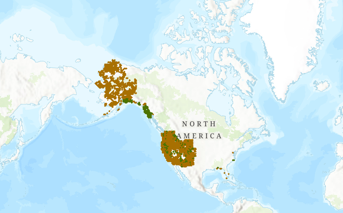
Buried deep in the U.S. Senate’s new budget reconciliation proposal is a provision that would mandate the sale of up to more than 3 million acres of Forest Service and Bureau of Land Management lands across eleven Western states over the next five years. Framed as a housing and “community development” measure, the legislation is, in fact, a thinly veiled land liquidation plan—one that opens vast tracts of public land to developers, speculators, and extractive industries, with no binding safeguards for conservation, affordability, or public access.
While the bill mandates the sale of 2.2 to 3.2 million acres, it effectively opens more than 120 million acres of public lands to potential nomination for sale, unleashing a massive wave of privatization with far-reaching consequences. And who knows where the land selloff will stop once it gets started?
“This is an enormous land grab—handing over millions of acres of public lands to private interests while pretending to care about affordable housing for western communities,” said Greta Anderson, Deputy Director of Western Watersheds Project (WWP). “These lands are our communities’ easy access to trailheads, hiking paths, bird watching areas, and the well-understood benefits of being in nature.”
The WWP map identifies lands not explicitly excluded from sale under the plain language of the bill. That includes roadless areas, Areas of Critical Environmental Concern, Indigenous cultural sites, and key wildlife habitats. In a deeply troubling omission, the bill gives state and local governments the right of first refusal—but not Tribal Nations, whose ancestral ties to these lands stretch back thousands of years.
And while the bill sweeps across eleven states, Montana is the only one granted a full exemption from the mandatory land sales—a move that raises serious questions about political favoritism and the underlying motives behind the selection process.
“This is not the only outrageous provision in the bill,” Anderson noted, “but it’s a clear sign of what this legislation is about: lining the pockets of the wealthy few to the detriment of all Americans. That is true whether we are talking about selling off public lands, gutting environmental review, or letting polluters off the hook for poisoning our air and water. It’s all part of the same agenda: deregulate, privatize and profit – no matter the cost to the people, wildlife or the planet.”
The areas at risk are not wastelands. They include some of the most iconic, ecologically rich, and culturally significant public lands in the country:
Parcels near Yellowstone National Park in Wyoming
Ridge to Rivers trail segments in the Boise Foothills
Riverfront BLM lands near Canyonlands and Glen Canyon
Habitat for bighorn sheep and backcountry ski terrain in Colorado
Sacred lands and salmon-bearing rivers in the Klamath Basin
Lands surrounding resort communities like Jackson and Aspen where land sales will result in trophy homes for the ultra-rich, not housing needed or workers
Mount Hood’s headwaters and popular recreation zones in Oregon
The Icicle Creek Valley in Washington, gateway to the Alpine Lakes Wilderness
In defending the proposal, Interior Secretary Doug Burgum dismissed these places as nothing more than “barren stretches next to highway billboards.” To that, WWP’s Anderson had a blunt response:
“These are not ‘disposable’ acres,” she said. “These lands aren’t vacant – they’re alive. They’re home to pronghorn, sage grouse, mountain lions, native trout and ancient cultural sites; they are gateways to national parks and Wilderness. Just because they are not profitable to the extractive industry doesn’t mean they are not priceless to the rest of us.”
It appears that even livestock grazing is no longer exempt. According to the Land Desk substack:
"Yes, MAGA Sens. Mike Lee and Steve Daines did amend their budget reconciliation provision in a way that appears to expand the land that is eligible for “disposal” from 120 million acres to about 258 million acres. This was done by removing specific language about excluding land with existing rights, such as active grazing allotments. Yeah, you got that right: these guys aren’t even going to let public land ranchers get in the way of their zeal to privatize and develop public lands!"
I've done a relative deep dive using your map to figure out exactly where the potential BLM lands for sale in California are. I'm curious to know how exactly you dropped in those parcels? Are they simply every parcel of BLM land that isn't a Wilderness, Monument, or Wild and Scenic River?
Great work fellas! This is super helpful.